search
Search
Close

Kalkalpen Trail stage 5

 Interactive elevation profile

Download GPS data
Create PDF

Tour-Details

Path number: 10,30,616
Starting place: 4580 Windischgarsten
Destination: 4582 Spital am Pyhrn

duration: 4h 0m
length: 11,5 km
Altitude difference (uphill): 730m

Lowest point: 609m
Highest point: 1.356m
difficulty: medium
condition: medium
panoramic view: Great panorama

Paths covering:
Asphalt, Hiking trail

powered by TOURDATA

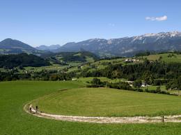
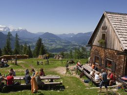
Windischgarsten – Gowilalm Pasture
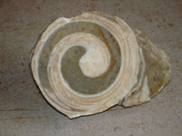
Theme: Geology

The climatic health resort of Windischgarsten (602 m) lies in the middle of a wide, mountain-lined valley basin, which is one of the most beautiful basin landscapes in the northern Alpine region. The town is the tourist and economic centre of the Pyhrn-Priel region. Windischgarsten is home to many sporting facilities such as a golf course, mountain bike trails, 2 tennis courts plus indoor tennis centre, riding club, climbing hall in the AV-Heim etc. Well-run hotels and inns invite you to linger. The famous arcaded courtyard in the former Lechnerhaus and the Psalm ...

 Interactive elevation profile

Download GPS data
Create PDF

Tour-Details

Path number: 10,30,616
Starting place: 4580 Windischgarsten
Destination: 4582 Spital am Pyhrn

duration: 4h 0m
length: 11,5 km
Altitude difference (uphill): 730m

Lowest point: 609m
Highest point: 1.356m
difficulty: medium
condition: medium
panoramic view: Great panorama

Paths covering:
Asphalt, Hiking trail

powered by TOURDATA
Protected by